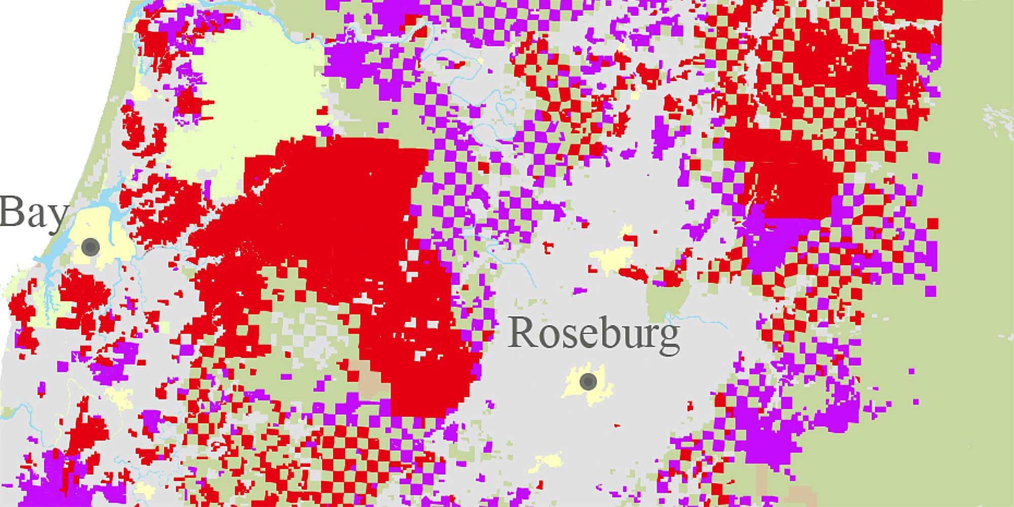
An important part of forest management planning is creating a map of your property, and a great place to start is with an online tool created by Ecotrust called Landmapper. You can use Landmapper to create maps of your property that can be saved, downloaded or printed.
Landmapper is designed to help make conservation and management planning easier for forest landowners. The tool offers maps across Oregon, including aerial photos, street maps, topography, streams and soil types. You can use it to access an overview of your property, including county, elevation, legal description, acreage, fire districts and watershed details.
ADDITIONAL MAPPING RESOURCES:
LocateOR
Developed by the Oregon Department of Forestry GIS unit to help people find locations in Oregon by latitude and longitude, township range and section, or a mile marker.
County assessor property maps
Look up your county assessor’s office website to find your parcel information.
ORMAP
View OR tax lots and download PDF copies of assessors’ maps.
Oregon StreamStats
An online U.S. Geological Survey mapping tool for water resources planning and management. Helps determine the size of culvert necessary to handle the peak flow for the stream crossing where a culvert will be replaced.
Oregon Explorer Mapping Tool
Interactive retrieval of natural resources information on your property. You can also use this map to review wildlife species distribution, terrain, topography a geology on your forestland .
Web Soil Survey
A tool for developing a soils map for your property. The Land Management and Vegetative Productivity reports that can be generated with Web Soil Survey contain the information you need for your plan.
Oregon Biodiversity Map Viewer
Data on species distributions for Oregon’s important forest species and habitats.
Avenza
Avenza is a mapping tool that lets users download maps from a store (offering free and paid maps) or import basemaps from other programs. It works offline, allowing users to create or import map features, record tracks, name features and add descriptions or photos.

